The Community
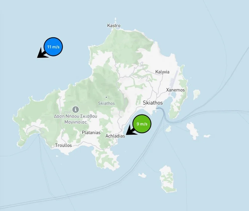
On both the App and the Windwaze website, collected wind data will be displayed on a map. This service is free of charge for sensor-owners, but also publicly accessible for anyone as premium users.
Each data point includes:
Sensor/yacht position (anonymized)
Wind direction (arrow indicator)
Wind speed (numerical value)
The service indicates data freshness using visual indicators, such as colorcoded markers. Example freshness indicators:
Blue: less than 1 hour old
Green: 1–3 hours old
Yellow: 3-6 hours old
The system allows users to select wind speed units, including:
meters per second (m/s)
Beaufort scale (BF)
knots
The map interface supports standard map functionality, including:
Zoom
Pan/scroll
Search by geographic location